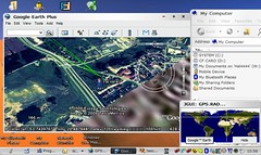
GPS Radar Origami Edition is a tool that allows you:
monitor your localization by GPS receiver save the track and points of moving generate various XML reports upload points to dedicated Internet server review your moving on designed web pages with Google Maps® streets or satellites images generate GoogleEarth® current location generate GoogleEarth® track files review your moving directly on GoogleEarth® interface screen with all its featuresgenerate Google® Maps on-line web page review your moving directly on Google® Maps on-line web page serviceYou can find more screen shots of this tool
here. A beta trial of this tool that will run until November 2006 is available.
Thanks for the tip Steve.
No comments:
Post a Comment
Spam will be deleted, do not waste your time.